|
|
|||||
| Home | Current Training | Past Training | Client Reviews | About Us | Contact Us |
| ♦ |
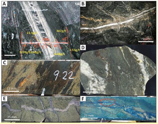
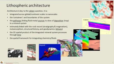
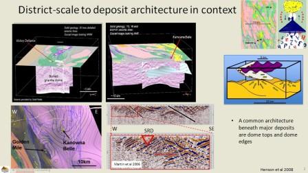
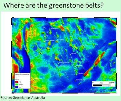
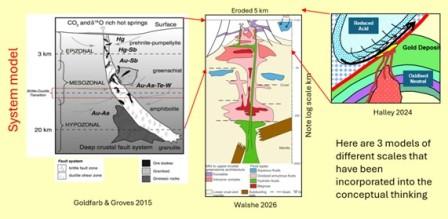
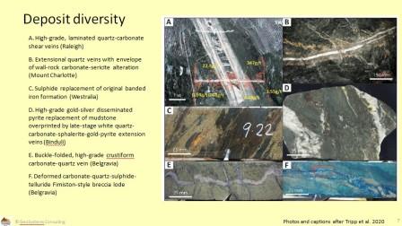
Overview Why do major mineral camps and deposits occur where they do, and how can that understanding guide the search for the next discovery? This 3.5-day course develops a mineral systems approach to exploration, integrating geology, structure, geophysics, geochemistry and geological time. Participants work from craton-scale geological processes through to the practical decisions involved in identifying prospective areas and selecting drill targets. Gold systems of Western Australia’s Archaean Yilgarn Craton provide the main case study and the basis for the practical exercises. The Yilgarn is exceptionally well studied, with extensive geological, geophysical, geochemical and geochronological datasets. This depth of evidence allows participants to examine how mineral systems develop through time, how processes connect across scales, and how independent observations can be brought together to test an exploration interpretation. Selected Canadian examples, particularly from the Abitibi, will be included where they help illustrate key processes and exploration implications. The wider value lies in the approach: building a geological framework, identifying the processes required to form and preserve mineral deposits, and using that understanding to make predictions that can be tested. These skills are relevant to exploration in other geological settings and for other commodities. Participants do not need prior knowledge of the Yilgarn.
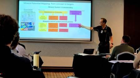
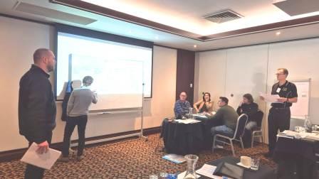
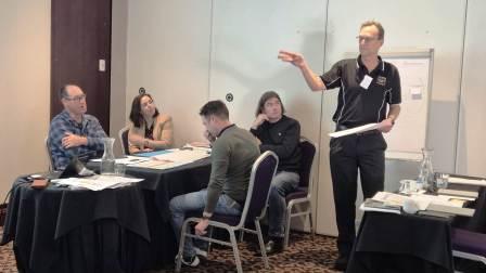
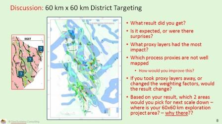
What Makes This Course Different Participants build and apply a mineral systems interpretation, tracing the connections between regional geological evolution, mineral camps and individual targets. The course emphasises: · Understanding why mineral camps and deposits occur where they do. · Integrating time, space and process into a coherent geological framework. · Connecting observations across craton, province, camp and deposit scales. · Testing whether independent datasets support the same interpretation, and recognising where evidence is incomplete or conflicting. · Translating geological understanding into predictions, mapping criteria and targeting decisions. Practical exercises are central to the course. Participants progressively build a time–space–event framework and use map-based exercises to explore how mineral systems understanding informs mineral potential mapping.
Content
The course is structured around four key themes:
Learning Outcomes By the end of the course, participants will be able to: · Explain how geological processes through time and across scales influence the location of mineral camps and deposits. · Construct and interpret a time–space–event framework to assess relationships between geological events and mineralisation. · Integrate geological, geophysical and geochemical evidence into a mineral systems interpretation. · Distinguish prediction from detection and select approaches appropriate to the exploration question and scale. · Translate mineral systems interpretations into spatial prospectivity criteria and practical targeting decisions. · Assess which parts of the workflow can be transferred to their own regions and commodities, and what local evidence is needed.
Who Should Attend · Exploration and mine geologists. · Generative and brownfields exploration teams. · Geological survey staff. · Geophysicists and geochemists seeking a broader geological and mineral systems perspective. · Geoscientists who want to integrate disparate datasets into exploration interpretations that can be tested. The course is suitable for a range of experience levels, with concepts developed progressively. Geoscientists working outside Archaean terrains or gold exploration are welcome: the detailed examples focus on Yilgarn gold, while the integration and targeting workflow has wider application.
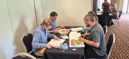
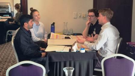
Format · Three and a half days of interactive lectures, practical exercises and discussion, with time for Canadian connections. · Progressive construction of a time–space–event framework. · Map-based exercises in spatial prediction and mineral potential mapping. · Selected Canadian examples and discussion of applying the approach to participants’ own exploration settings. Additional time to work through the transition from regional prospectivity to camp (5 × 5 km) and deposit (1 × 1 km) scales.
$2,397 CAD: early
registration (by Fri, December 4, 2026) | $2,697 CAD:
late registration (after Fri, December 4, 2026)
Fee
includes: (3) full days, catered lunch
and breaks each day, shortcourse notes and participation
certificate 10% discount for 5 or more participants from within the same company. 5% discount for 3 or more participants from within the same company. Payments accepted by cheque, wire and bank transfers, and all major credit cards. Space is limited for all courses. Register early
to avoid disappointment. Minimum of 16 participants required by the early
registration date
Register here by filling in the attached registration form, and sending it back by email, fax or by mail Please contact Karie Smith at karie@klsgeo.com for more information....
Past Course Comments:
"An
excellent, well-presented, 3-day course, that exceeded all expectations.
I came for the mineral-systems but
"The
course material is well constructed addressing technical details,
observations and interpretations. Richard is very
"A
large swath of data with a good foundation - enough of a basis
considering the amount of info being presented."
"-Great integration of data from different
scales (time & space).
"Very detailed thorough course material, lot
of prep gine into course. General to specific transition from day 1-3.
"-Interactive, great to get off the laptop
screen and do some hands-on activities
"Interesting course. Learning from an expert like Richard was a very
valuable experience! Thank you for organizing!"
"Great info, delivered well, structured well.
Interesting, good flow, relevant for different knowledge levels.
"Really liked the structure of the course. Building up the space
time plot was a very effective way to teach the concept."
"The course material was very in-depth,
thought out, detailed, insightful and relevant. Richard and his
wife were very helpful and knowledgeable.
"[Strengths:] Instructor. Strong subject matter knowledge, personable &
willing to discuss differing opinions. Broad scope of material for
relatively short time, but well covered."
"Well organised
"Got
alot of it and hopefully can implement some of the concepts in our
current roles."
|
|||||||||||
| ♦ | ||||||||||||
________________________________________________________________________________________________________________________
© KLS Geological. All rights reserved. Ph: +1-604-367-8898 Fx: +1-604-536-8080 info@klsgeotours.com